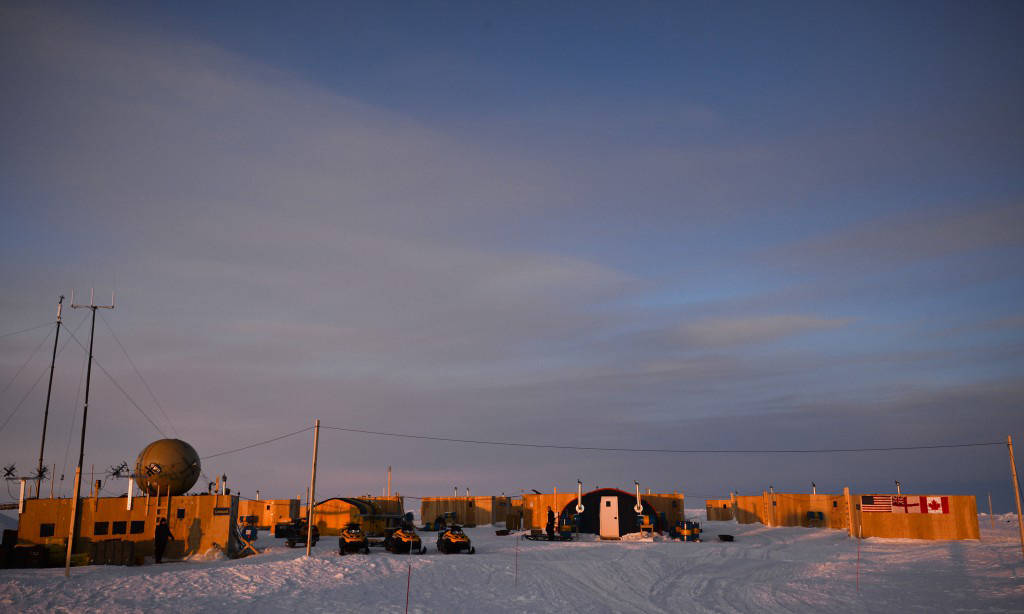
The view at sunset of Ice Camp Nautilus, located on a sheet of ice adrift on the Arctic Ocean, during Ice Exercise (ICEX) 2014, March 20. ICEX 2014 is a U.S. Navy exercise highlighting submarine capabilities in an arctic environment. (U.S. Navy photo by Mass Communication Specialist 2nd Class Joshua Davies/Released)
The Arctic region is warming up at twice the pace of the rest of the Earth, opening up sea lanes during the summer that were previously inaccessible, according to a Navy report.
Adm. Jonathan Greenert, chief of naval operations, said in the U.S. Navy Arctic Roadmap: 2014-2030, released in February, that the service “recognizes that the opening of the Arctic Ocean has important national security implications as well as significant impacts on the U.S. Navy’s required future capabilities.”
The Navy and its partner the Coast Guard will find themselves operating more frequently in the region. That will require “a better communications architecture,” the roadmap said.
The Navy is responsible for providing maritime domain awareness including up-to-date maps and weather forecasts to the rest of the armed forces. Primary search-and-rescue responsibility lies with the Coast Guard, with the Navy assisting.
All this will require moving data over a communications backbone in the Arctic Ocean, which covers about 5.4 million square miles.
In the near term, the sea services will have two new satellite communication systems to rely upon: The Navy’s Mobile User Objective System (MUOS) and Iridium, a commercial satellite communications provider, which is set to launch its next-generation fleet of spacecraft in 2015.
MUOS, which now has two of a planned five-satellite system in orbit, was not required to provide communication links farther than 65 degrees north, explained Paul Scearce, director of military space advanced programs at MUOS’ builder, Lockheed Martin.
Back when the satellites were being conceived some 14 years ago, communicating in the Arctic simply wasn’t a pressing issue, he said in an interview. The legacy satellites that MUOS is replacing, the UHF Follow-On, had spotty connectivity in latitudes higher than 65 degrees north. Sometimes users could receive signals as far as 72 degrees north, but they were weak and inconsistent, he said.
UHF Follow-On and MUOS satellites are in geosynchronous orbits above the equator, meaning their beams cover most of the Earth, but fade in polar regions.
“Historically, that beam pattern isn’t very usable very far into the Arctic,” Scearce said. “Polar coverage was always a desire, but there was no real drive to make the system go above 65 degrees.”
The MUOS satellites have more beams, more power, a waveform based on 3G wideband spread spectrum and therefore more capability to bend around the curvature of the Earth, he said.
Several allies are interested in participating in the MUOS program. There is a precedent for this kind of arrangement. Countries such as the Netherlands, United Kingdom and Canada have kicked in funding for the Advanced-EHF military satellite program in exchange for the use of the spacecraft. Scearce said Canada is interested in MUOS.
Lockheed Martin suspected that the satellites’ 16 beams — in order to meet the 65 degrees north baseline requirement— would extend far beyond that latitude. But potential customers were telling Lockheed Martin: “You need to prove it to me,” Scearce said. “It’s something that has never been demonstrated before.”
The company chartered a C-130 to carry out operational tests as close as it could to the North Pole, and brought along for the trip representatives of MUOS terminal manufacturers General Dynamics, Rockwell Collins and Harris Corp. It was a 14-hour flight from Barrow, Alaska. While on the runway there, Scearce said signals from the UHF Follow-On satellites were already weak. Barrow is at 71 degrees north.
The C-130 could only reach as far as 89.5 degrees north, which is some 30 miles short of the North Pole. There, all three of the terminals were able to connect to the MUOS satellites.
“If we had a little more gas and a little more time, my hunch is we could have actually done 90. But to get all the way to 89.5 was pretty amazing,” Scearce said.
Once the remaining two satellites are placed into orbit, there should be a seamless handover from one spacecraft to another as one satellite rises in orbit and the other falls.
There is no degradation in the signal the farther away one is to the north, he noted. As long as there is a connection, the user reaps all the benefits of the new satellites. The only factor is the amount of coverage time, which is not consistent since the other two satellites in the constellation have yet to be launched. The third is scheduled to be launched in January 2015, and the fourth that summer. An on-orbit spare will follow in 2016.
The two current satellites do, however, provide 24-hour coverage of the entire Northwest Passage, a crucial summer shipping lane.
In the test, the terminals were able to move large picture files.
“Even though it is narrow band, we were sending pretty large data files — 289 megabytes, which is pretty phenomenal for a narrowband system,” Scearce said.
The system has since been tested at the ICEX annual joint U.S.-Canada exercise conducted at about 72 degrees north. When the Coast Guard makes its annual voyage to the Arctic in one of its national security cutters in August, it will also have a MUOS technician aboard to test the system, Scearce said.
“It’s great now that we have all these government entities — Coast Guard, NORAD, Northcom — embracing and trying to understand how they can take advantage of the MUOS system for their operations in the Arctic,” said Scearce.
The Navy’s Arctic roadmap said: “The expected continued reduction of multi-year Arctic sea ice over the coming decades will result in increased human activity in the Arctic Ocean. How much of an increase, and in what types of activities, remains to be seen.”
Satellite communications provider Iridium will also boost Navy and Coast Guard connectivity in the polar regions as well as civilian agencies and any company or person willing to pay for its services.
Iridium is set to replace its 1990s era satellites with a new system called Iridium Next beginning in 2015.
Unlike the geostationary MUOS, Iridium’s satellites operate in low-Earth orbit. The constellation of 66 spacecraft circle the globe in numbers that assure there is at least one always overhead no matter where a user is on the planet.
The U.S. military has been a steady customer of Iridium’s services since it emerged from Chapter 11 bankruptcy in 2000. It has a dedicated gateway that connects the satellites to the Defense Department’s secure network.
Scott Scheimreif, Iridium vice president of government programs, said Next will be significantly more capable than the legacy system, which was originally designed by Motorola primarily for voice communications in the 1990s.
Since then, the company has squeezed more capability out of the system by bundling and using channel compression to keep up with demands for higher throughputs, he said. It operates at about 2.4 kilobytes per second.
A new waveform will allow for more efficient channels and new antenna types that will increase bandwidth for handheld man-packable radios from 9.6 kilobytes per second to 88 kps. Large terminals, which are more likely to be used on vessels and land stations in the Arctic will range from 32 kps to 128 kps, he said.
“It allows us to expand the bandwidth to allow customers, who have a need for lower latency or greater data transport, to take advantage” of the system, he said.
It will be able to accommodate the transmission of imagery and low-resolution video, he said. Higher resolution video is possible by trading off latency, he added.
The National Science Foundation uses the current satellites extensively at research facilities in Antarctica because there are not a lot of other assets they can use, he said.
The new system will be able to transmit operational data from experiments and time sensitive data that the current network can’t support.
Assembly, integration and testing of the new systems is taking place this year, he said. The first two satellites for the replacement system are scheduled to be launched in July 2015, with an additional eight expected by the end of that year. It will take about two years to replace the old satellites.
The Defense Information Systems Agency and Iridium signed a five-year, $400 million fixed-price contract to provide unlimited voice, data, push to talk, and paging services.
The deal includes the Coast Guard, Scheimreif said.
“We have talked with [Coast Guard officials] multiple times as their mission looks to be expanded … in the Arctic area,” he added.
Iridium is well suited for search-and rescue missions, he noted. The global maritime distress and safety system, a conglomeration of legacy and newer communication networks intended to help ships and aircraft in trouble at sea, is interested in using Iridium Next, Scheimreif said. The international system requires certain classes of ships and aircraft to carry devices to receive or transmit distress calls.
“You can imagine in that area of the world there are not a lot of other communication networks to rely on and we’re a great fit for that, and we are in pursuit of that right now,” he said.
Meanwhile, Iridium has data showing that demand for Arctic communications is growing. Traffic on its network originating in the region is on the rise.
“We can see the increase in traffic. It is seasonal at times, and it has always been seasonal. … There is a general trend over and above the seasonal activity that sees an increase in both voice and data communications in that area,” Scheimreif said.
The Navy’s primary missions in the Arctic will be to provide homeland defense, ready forces in times of crisis, preserving the freedom of the seas and promoting partnerships with allies such as Canada.
“Regardless of the degree of accessibility, the Arctic region will remain a unique and harsh operating environment,” the roadmap said.
